Capitol Reef National Park: Visitor Guide
Book an experience
National Park in the area
Best price guaranteed · Instant confirmation · Free cancellation on most bookings
Capitol Reef is the least-visited of Utah’s five national parks, and that’s its best feature. The 241,897-acre park runs along the Waterpocket Fold — a 100-mile wrinkle in the earth’s crust where 270 million years of sedimentary layers were buckled into a wall of canyon-country geology. Unlike Zion or Arches, there’s no single marquee attraction pulling the crowds into bottlenecks. What draws people back repeatedly is the variety: the paved Scenic Drive, the fruiting Mormon orchards of Fruita, the sandstone spires of Cathedral Valley, and a river canyon system that rewards those who linger.
Entry Fees and Passes
Entry costs approximately $35 per vehicle as of 2026, valid for seven days. Motorcycles are approximately $25; pedestrians and cyclists approximately $15. The America the Beautiful annual pass ($80) covers all vehicle occupants and pays for itself in two national park visits — strongly recommended for any Utah itinerary that includes Bryce Canyon, Zion, and Arches.
No timed entry reservations are required for the main park. Fruita Campground is first-come, first-served outside a limited online reservation window.
When to Visit
March–May is peak season for good reason: wildflowers bloom across the Fremont River canyon, temperatures sit comfortably in the 60s–70s°F, and the Fruita fruit trees blossom. Crowds are at their highest in May.
September–October is arguably the better window — cooler temperatures, thinning crowds, and the harvest season for peaches, pears, and apricots in the Fruita orchards. The cottonwoods turn gold along the Fremont River in October.
June–August is feasible but challenging: temperatures regularly reach 95–105°F at midday. Any hiking during summer should start before 8am and finish before noon. The Scenic Drive is comfortable by car; Cathedral Valley is not advisable midday.
November–February: the park stays open year-round but Cathedral Valley roads are frequently impassable after snowfall. Fruita is quiet and scenic on clear winter days.
Getting There
Capitol Reef sits on Utah Highway 24, roughly 3.5 hours south of Salt Lake City and about 2 hours east of Bryce Canyon. The nearest airport is Salt Lake City International (SLC); Grand Junction Regional Airport (GJT) in Colorado is approximately 2.5 hours east. Torrey, Utah (11 miles west on UT-24) is the main gateway town for fuel, food, and lodging. Car hire is essential — there’s no public transit to the park. Compare options at /go/car-hire-usa.
The Scenic Drive
The 9-mile paved Scenic Drive is the core visitor experience: it heads south from the visitor center along the base of the Waterpocket Fold, passing towering red-rock cliffs, canyon slots, and the Capitol Dome formation that gives the park its name. Two unpaved spur roads branch off:
- Grand Wash — 2.3 miles into a tight canyon between 800-foot walls. Short walk to the Narrows (not to be confused with Zion’s Narrows). Passable in a standard vehicle in dry conditions.
- Capitol Gorge — 2.5 miles to a trailhead for the Pioneer Register (emigrants carved their names into the canyon walls) and water pockets. Passable in dry conditions with low clearance.
Both spurs flood during heavy rain — check conditions at the visitor center before entering.
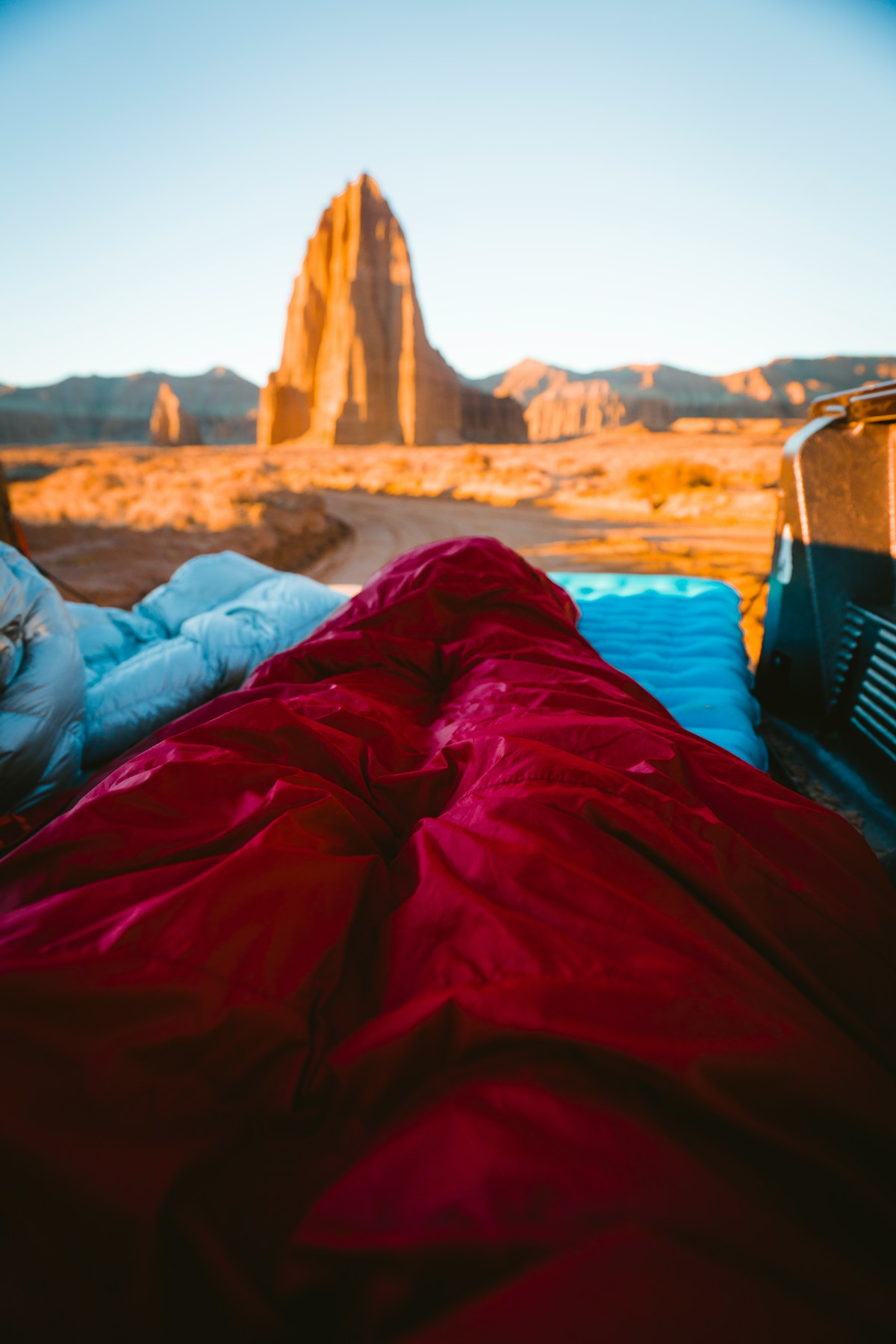
Cathedral Valley
The northern section of the park contains what may be the most dramatic landscape in Utah that most visitors never see. Cathedral Valley is a remote basin filled with sandstone monoliths — Temple of the Sun (400 feet tall), Temple of the Moon, and Glass Mountain (a selenite crystal mound). Getting there requires:
- A high-clearance 4WD vehicle
- Fording the Fremont River (depth varies — ask at the visitor center)
- Approximately 57-mile loop on dirt roads (half a day minimum)
Primitive camping at the Cathedral Valley Campground (no water, pack-in/pack-out) is free and first-come, first-served. Sunset over the Temples is extraordinary.
Hiking
- Hickman Bridge Trail — 1.8 miles round trip, the park’s most popular hike. Climbs to a 133-foot natural bridge. Moderate. No permit required.
- Cohab Canyon — 3.4 miles round trip from Fruita Campground. Good views over the Fremont River valley. Moderate.
- Cassidy Arch — 3.4 miles round trip, 670 feet elevation gain. Named for Butch Cassidy, who used the canyon country as a hideout. Moderate-strenuous.
- Rim Overlook — 4.5 miles round trip, 1,100 feet elevation gain. Panoramic views of the Fruita area and Fremont River canyon. Strenuous.
Backcountry permits (free) are required for overnight camping anywhere outside designated sites.
Campgrounds
- Fruita Campground — 71 sites, the only in-park campground with water, flush toilets, and electrical hookups for some sites. Approximately $20–25/night. Located in the orchard area, surrounded by deer that wander between sites at dusk. Reservable at recreation.gov; books out 2–4 weeks ahead in spring.
- Cathedral Valley Campground (primitive) — 6 sites, no water, no fee. First-come, first-served. 4WD access only.
- Cedar Mesa Campground (primitive) — 5 sites in the southern district, no water, no fee. High-clearance recommended.
Nearby Lodging
Torrey, Utah (11 miles west) has the bulk of the accommodation options:
- Capitol Reef Resort — the largest option, rooms and cabins from approximately $250–450/night in peak season.
- Rim Rock Inn — motel-style with Waterpocket Fold views, approximately $180–280/night.
- Lodge at Red River Ranch — upscale fly-fishing lodge on the Fremont River, approximately $300–500/night.
- Budget motels along UT-24 run approximately $90–150/night.
Hanksville (37 miles east) has basic motel options if approaching from Canyonlands.
Safety
- Flash floods: the canyon country can flood with no warning from thunderstorms miles away. If skies darken anywhere upstream, exit slot canyons immediately.
- Desert heat: carry at least 2 liters of water per person for any hike between May and September. Heat exhaustion is the most common medical emergency in the park.
- Sun exposure: the Utah desert has very little shade on most trails. Sunscreen, hat, and early starts are non-negotiable in summer.
- Road conditions: dirt roads change dramatically after rain. Confirm Cathedral Valley conditions at the visitor center before heading north.
For a multi-park Utah itinerary combining Capitol Reef with Bryce Canyon and Zion, see our Utah Mighty 5 road trip guide.
Nearby City Guides
Frequently Asked Questions
- How much does it cost to enter Capitol Reef National Park?
- Entry is approximately $35 per vehicle as of 2026, valid for seven days. The $80 America the Beautiful annual pass covers all vehicle occupants and is excellent value if you're combining Capitol Reef with Bryce Canyon, Zion, or Arches on the same Utah road trip. No reservation required for general park access — entry is paid at the entrance station.
- Is Capitol Reef National Park crowded?
- Considerably less crowded than Zion, Bryce Canyon, or Arches — Capitol Reef receives roughly 1.2 million visitors annually versus 4–5 million at its more famous Utah neighbors. You'll rarely queue for trailheads or viewpoints except at peak Fruita areas on holiday weekends in May and September. Fruita campground does book out weeks ahead in spring and fall.
- Can you pick fruit in the Fruita orchards?
- Yes — this is one of Capitol Reef's most distinctive experiences. The park maintains 2,700 fruit trees (cherry, peach, pear, apricot, and more) planted by Mormon settlers in the 1880s. During harvest season (typically June–October depending on variety), you can pick and eat fruit within the orchard for free. Taking fruit out of the park costs the posted per-pound rate. Check nps.gov/care for current harvest status.
- Do you need a 4WD for Capitol Reef?
- Not for the main paved Scenic Drive (9 miles each way) or Fruita area. Cathedral Valley — the park's remote northern section with towering sandstone monoliths — requires a high-clearance 4WD and the Hartnet Road crossing of the Fremont River. Check current road conditions at nps.gov/care before attempting Cathedral Valley routes. Spring runoff and summer thunderstorms can wash out dirt roads quickly.
Ready to explore?
Browse hundreds of tours and activities. Book securely with free cancellation on most options.
Browse on GetYourGuide →Best price guaranteed: same price as booking direct. We earn a small commission at no extra cost to you.