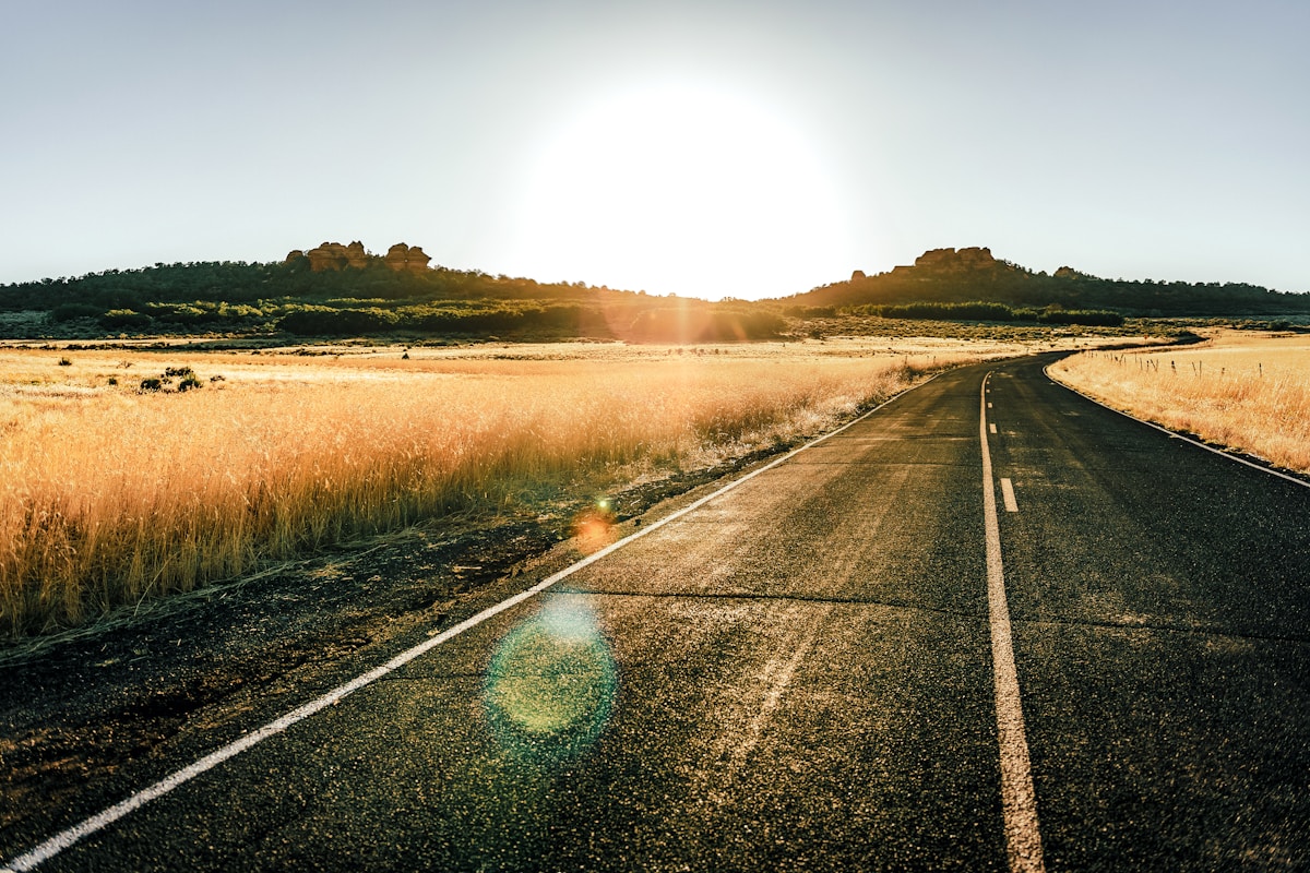
Blue Ridge Parkway Road Trip Guide
Total distance: 469 miles (755 km) - Shenandoah National Park, Virginia to Great Smoky Mountains National Park, North Carolina Driving time: 9–11 hours non-stop; most travellers allow 5–7 days Best season: Mid-October for peak fall foliage; late April–May for wildflowers and rhododendron blooms; summer is pleasant but busy
The Blue Ridge Parkway was built between 1935 and 1987 and is the most visited unit of the National Park Service, drawing approximately 15 million visitors a year. It connects Shenandoah National Park in the north with Great Smoky Mountains National Park in the south - book Shenandoah tours or book Great Smoky Mountains tours to make the most of time at either end. The road has no traffic lights, no commercial vehicles, and a 45 mph speed limit throughout - it is explicitly designed for scenic travel rather than transport. Entry is free and no reservation system exists for the road itself, though individual campgrounds and lodges require bookings. A car is essential - hire a car in the USA and pick up at Charlotte Douglas, Roanoke, or Asheville Regional airport depending on your starting point.
Search hotels in Asheville on Booking.com
Key Stops
Waynesboro and Afton Mountain, Virginia (Mile 0)
The parkway’s northern terminus connects with Skyline Drive at Rockfish Gap (US-250) near Waynesboro. The Appalachian Trail crosses the parkway at 26 points along its length, and Rockfish Gap is one of the most accessible trail access points. The Basic Creek Brewery in Waynesboro is a reasonable stop before beginning the drive.
Where to stay: Waynesboro chain hotels from approximately $90/night (as of 2026).
Humpback Rocks (Mile 5.8)
A short but steep 2-mile round-trip hike to Humpback Rocks offers one of the best views in the northern section - an open rock face with 270-degree panoramas across the Shenandoah Valley. The hike climbs approximately 750 feet; the trailhead parking lot fills by 9 a.m. on weekends in summer and fall. No entry fee.
Otter Creek and Natural Bridge (Mile 60)
The Otter Creek section has a popular campground (approximately $22/night as of 2026) and a flat, easy 3.5-mile trail along the creek. Natural Bridge State Park - a 215-foot limestone arch that Thomas Jefferson once owned - is 12 miles east of the parkway near Lexington and charges approximately $8/adult (as of 2026).
Where to stay: Lexington has the Inn at Lexington from approximately $150/night (as of 2026) and several B&Bs.
Roanoke, Virginia (Mile 112–121)
The largest city on the parkway’s route, Roanoke sits in a valley below the road. The Taubman Museum of Art downtown charges no admission. The Virginia Museum of Transportation charges approximately $12/adult (as of 2026). The downtown City Market building dates to 1922 and has local vendors.
Where to stay: The Hotel Roanoke charges from approximately $160/night (as of 2026); downtown chains from approximately $110/night.
Mabry Mill (Mile 176)
One of the most photographed mills in the eastern US - a working grist mill and saw mill complex on a pond. The mill grinds corn on weekends from May through October. The adjacent restaurant serves buckwheat pancakes and cornbread from approximately $10–$15 (as of 2026). Arrive early on fall weekends to avoid crowds.
Blue Ridge Music Center (Mile 213)
The Music Center sits on the Virginia–North Carolina state line and is the cultural heart of the parkway. Free outdoor concerts run Friday–Sunday from mid-June through August; indoor museum admission is approximately $6/adult (as of 2026). The acoustic traditions of old-time and bluegrass music documented here originated in the surrounding hollows.
Moses H. Cone Memorial Park (Mile 294)
The 3,500-acre estate of textile magnate Moses Cone has 25 miles of carriage roads for hiking and biking around Bass and Trout Lakes. The Flat Top Manor - a 23-room Georgian Revival mansion - houses a Southern Highland Craft Guild shop with handmade pottery, furniture, and weavings. Free to enter.
Where to stay: Blowing Rock, one mile east, has the Chetola Resort from approximately $180/night (as of 2026) and several mountain inns.
Grandfather Mountain (Mile 305)
Grandfather Mountain is privately operated (unusual for a Blue Ridge attraction) and charges approximately $27/adult for the Mile High Swinging Bridge and wildlife habitats (as of 2026). The summit offers a genuine suspension footbridge 5,305 feet above sea level with dramatic views when clear. The mountain is inside the UNESCO Blue Ridge Biosphere Reserve.
Asheville, North Carolina (Mile 382–384)
Asheville is the largest town near the parkway and one of the most visited cities in the Southeast. The Biltmore Estate - a 8,000-acre George Vanderbilt mansion built in 1895 - charges approximately $75–$95/adult depending on season (as of 2026) and includes the winery. Downtown Asheville’s River Arts District has over 200 working artists’ studios in repurposed warehouse buildings; self-guided tours are free. The city has a dense concentration of breweries - Wicked Weed Brewing and Hi-Wire Brewing both charge approximately $6–$8 per pint (as of 2026).
Where to stay: The Omni Grove Park Inn charges from approximately $300/night (as of 2026). Downtown boutique hotels from approximately $180/night; Airbnb options in West Asheville from approximately $120/night.
Black Balsam Knob and the Shining Rock Wilderness (Mile 420)
The 6,214-foot summit of Black Balsam Knob is reached via a 1.5-mile round trip from the Art Loeb trailhead - one of the most accessible alpine environments in the East. The surrounding Shining Rock Wilderness has no designated campsites and no fee; dispersed camping is permitted. No permit currently required but check current regulations with Pisgah National Forest before visiting.
Cherokee and the Parkway’s Southern Terminus (Mile 469)
The parkway ends (or begins, depending on direction) at US-441 near Cherokee, North Carolina - the eastern entrance to Great Smoky Mountains National Park. Find hotels near the park: stay near Great Smoky Mountains. For the northern terminus, stay near Shenandoah for accommodation in the Waynesboro/Luray area. The museum of the Eastern Band of Cherokee Indians (Sequoyah National Research Center) charges approximately $12/adult (as of 2026). The national park itself has no entrance fee.
Road Conditions and Permits
No permits required. The parkway closes sections seasonally - the highest elevations above 5,000 feet frequently close November–March for ice. Check the NPS Blue Ridge Parkway road closure map (nps.gov/blri) before your trip. The 45 mph speed limit is strictly enforced. No commercial vehicles, and RVs over 45 feet have restrictions on certain sections near Asheville.
Fuel Cost Estimate
Fuel stations do not exist on the parkway itself - fill up in towns before re-entering. Exits to US highways occur roughly every 20–40 miles. Over 469 miles at approximately $3.20/gallon (Virginia/North Carolina average as of 2026), a 28 mpg vehicle uses approximately 17 gallons at a cost of approximately $54. An SUV averaging 20 mpg would use approximately 23 gallons at approximately $74.
Budget Summary (per person, two sharing)
| Category | Estimate |
|---|---|
| Accommodation (5 nights) | approximately $450–$900 |
| Fuel (half-share, 469 miles) | approximately $27–$40 |
| Food | approximately $35–$55/day |
| Attractions and park fees | approximately $80–$130 |
| Total (6 days) | approximately $750–$1,300 |
Practical Notes
- Cell service is intermittent throughout and absent on many sections. Download offline maps and the NPS Blue Ridge Parkway app before leaving Roanoke or Asheville.
- The parkway has 26 tunnels, the longest being the 1,434-foot Pine Spur Tunnel near Blowing Rock.
- National Park Service campgrounds on the parkway charge approximately $20–$26/night (as of 2026); recreation.gov reservations open 6 months ahead.
- The fall foliage window at the northern end (mile 0–100) peaks approximately October 10–20; the southern end near Cherokee peaks approximately October 20–November 5.
Nearby & Related Guides
- Asheville travel guide
- Shenandoah National Park guide
- Great Smoky Mountains National Park guide
- Appalachian Trail towns 7-day itinerary
Plan Your Trip
✈️ Book your flights to the USA 🛡️ Get travel insurance 📱 Stay connected with an eSIM 🚗 Rent a car